Climbing Matthes Crest
Introduction
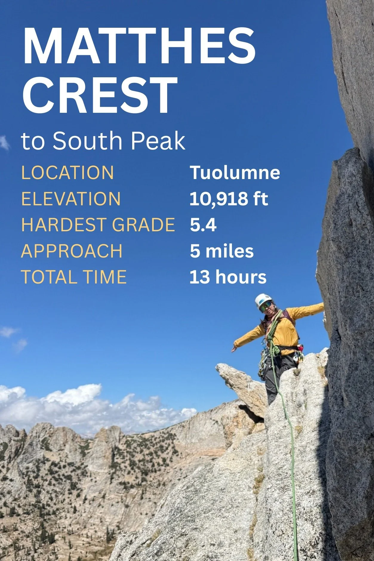
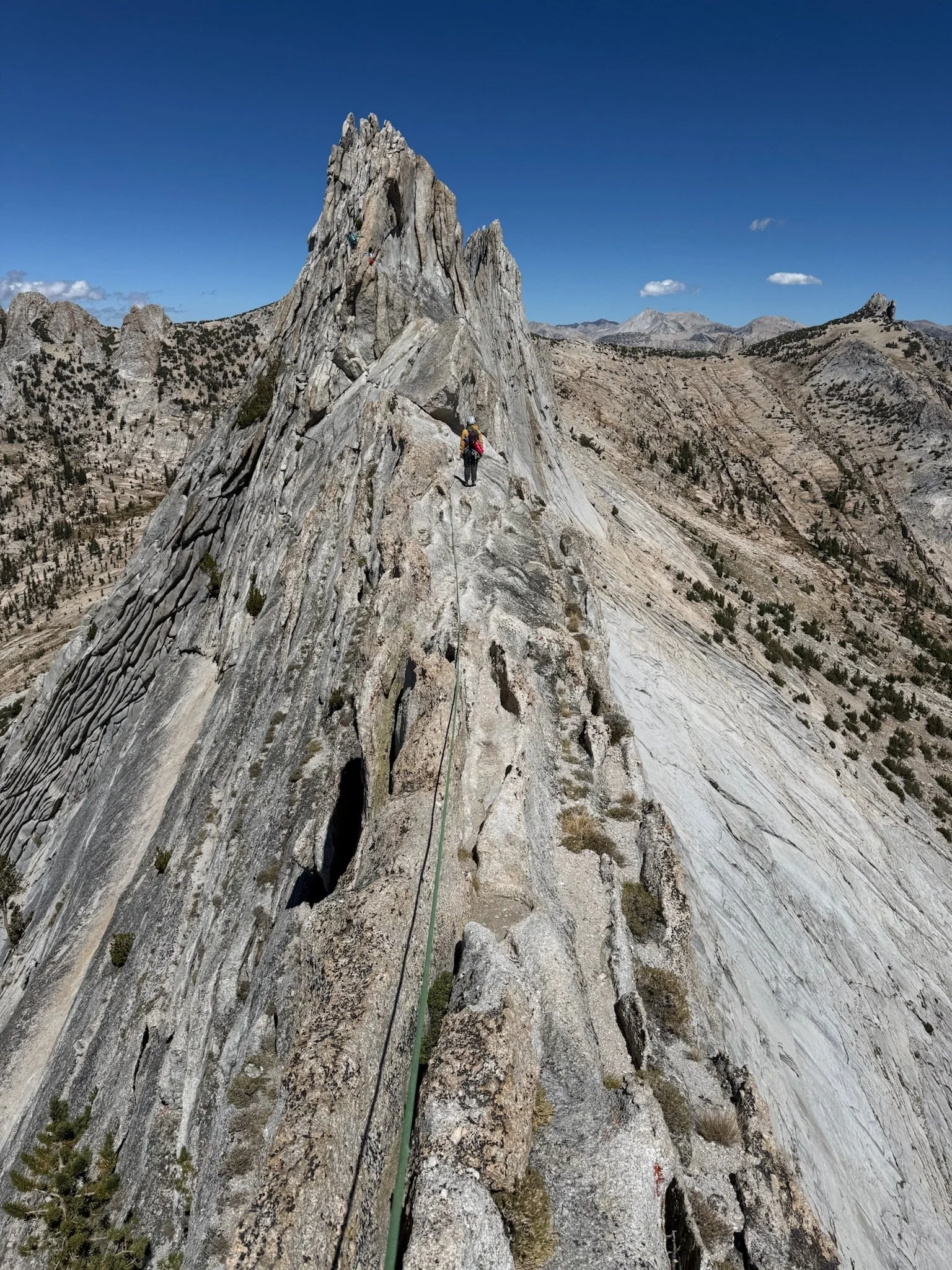
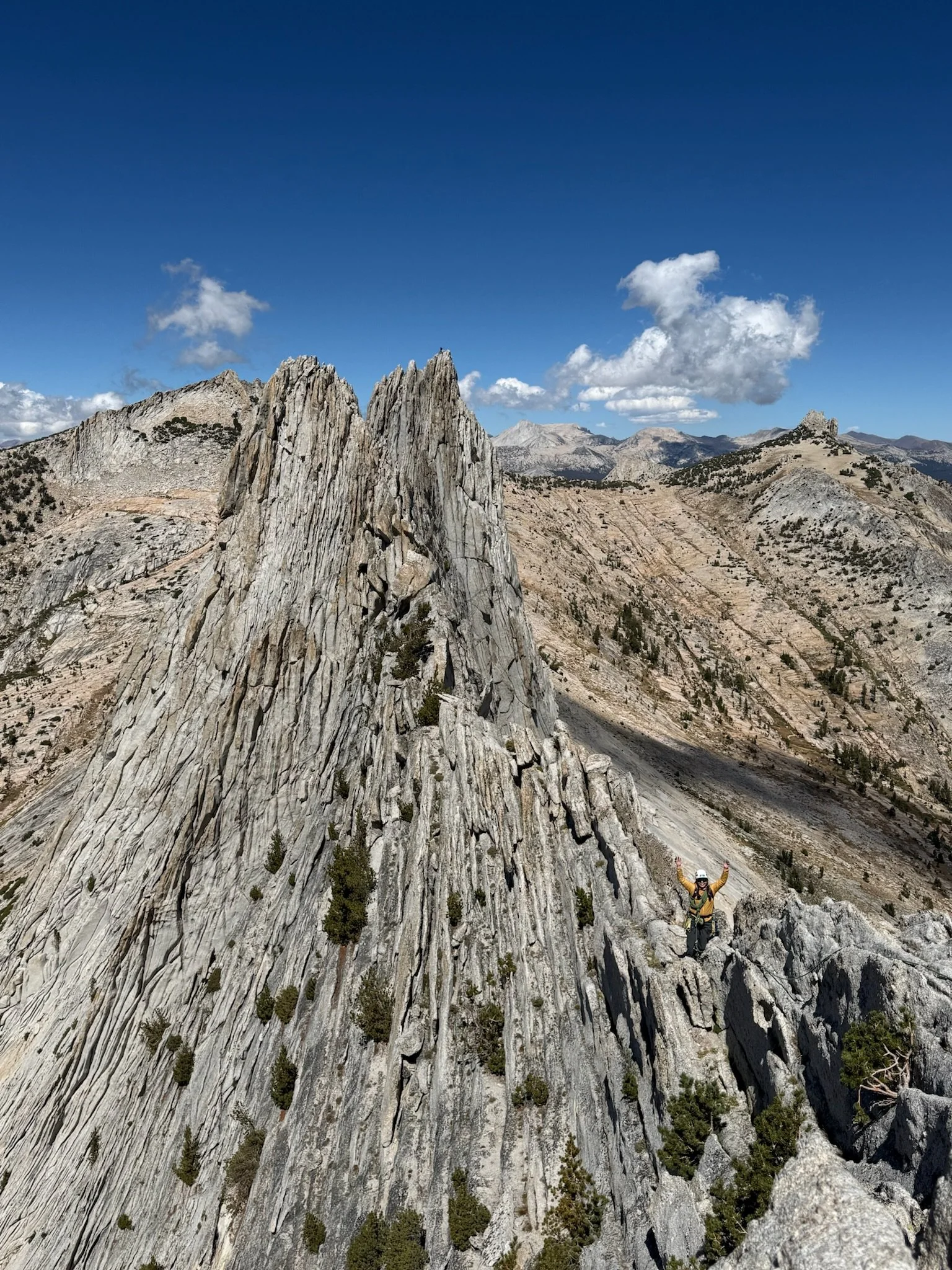
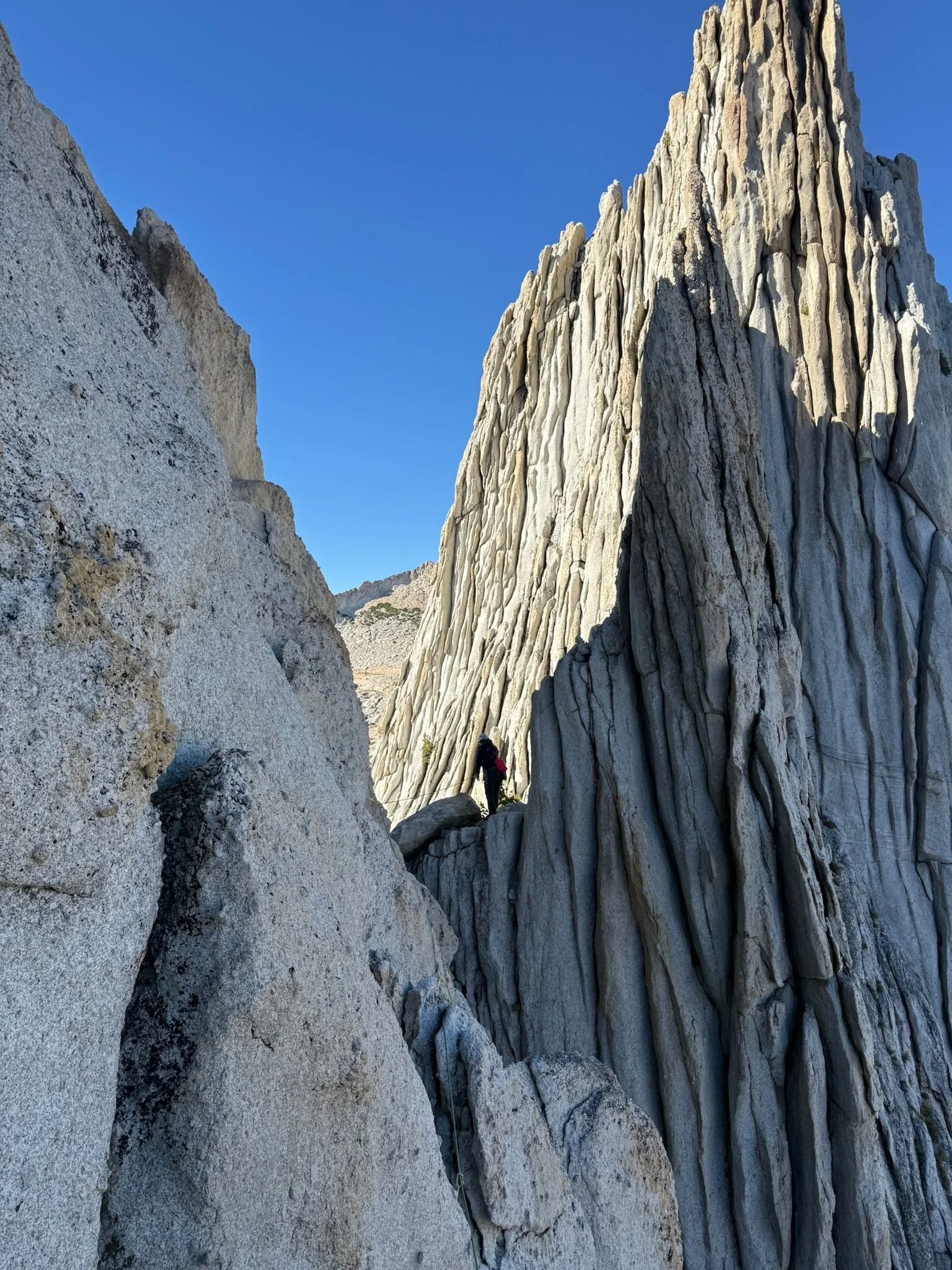
Matthes Crest is a mile-long granite fin in Tuolumne (Yosemite National Park). It was originally named Echo Ridge for its neighboring Echo Lakes, but was later renamed after Francois E. Matthes. The approach is ~five miles from the Cathedral Lakes parking and the climbing ranges from 5.4 to 5.8, spread over more than a mile of fourth class scrambling and some downclimbing on the ridge itself.
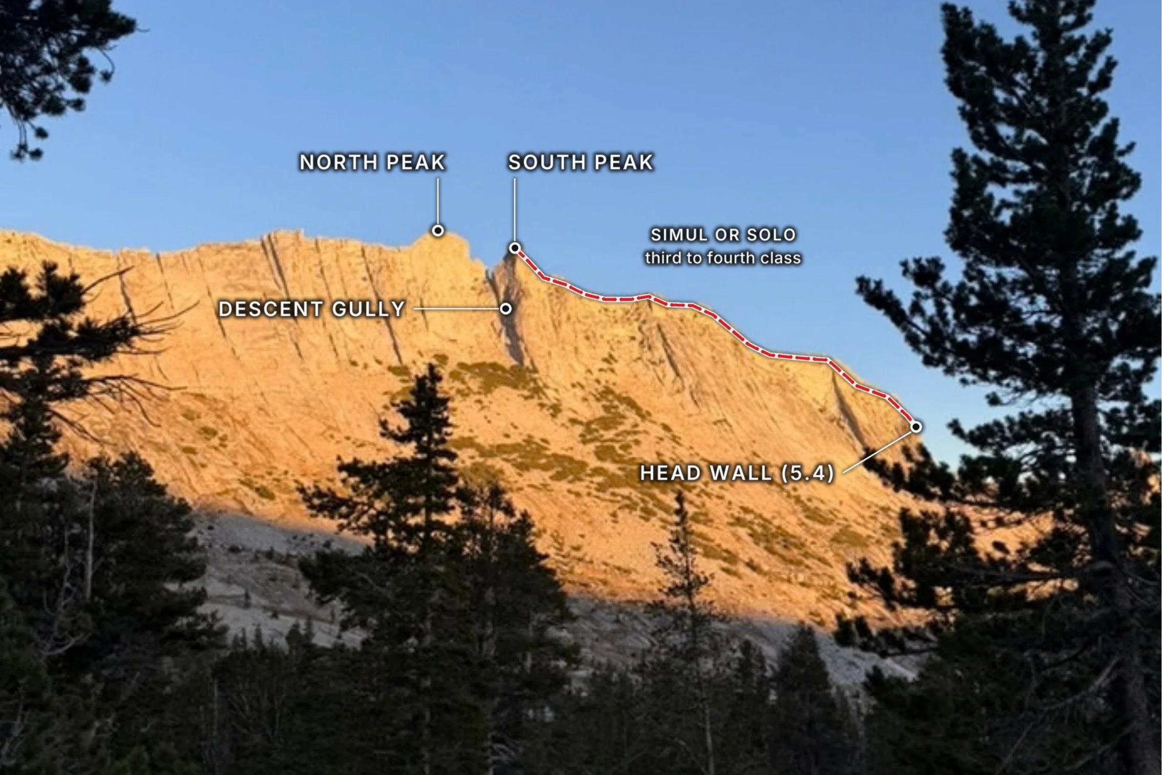
People usually climb this ridge south to north to minimize the downclimbing. It can be split into two sections, the first spans from the south headwall to the south peak (hardest climbing 5.4) and the second goes from the north peak to the end (hardest climbing 5.7 and 5.8 downclimb). Parties can rap down after the south peak (~1 mile traverse) or continue through the rest of the ridge (~1.5 mile traverse total).
Justin and I climbed Matthes Crest for the first time this August (2026). We only did the first half of the ridge to avoid the 5.8 downclimb. We simul climbed (our first time) the 5.4 start, then, because it was our first time climbing a ridge like this, we decided to stay roped together for the entirety of the traverse, despite it being an easy third/fourth-class mile between the headwall and the peak.
Matthes Crest is often climbed together with other prominent peaks in Tuolumne. The Triple Crown starts with Tenaya Peak, followed by the full Matthes traverse, and finishes with Cathedral Peak. Justin and I plan to come back for the full Matthes Crest when we are both more confident in our alpine climbing and the full Triple Crown when we are faster in our maneuvering.
Weather
The weather was great for climbing. It was cold in the morning (hovering around freezing when we drove in at 5:30AM). My hands run cold, so if I were to bring anything next time, it would be to pack a small pair of glove liners for the morning.
When the sun came up, it was a sunny and brisk 50 - 60F – perfect for hiking and climbing. On the ridge itself, the wind picked up, sometimes to the point of feeling like we would get blown right off! Temperature-wise, that wasn’t an issue and I felt comfortable in long pants, a sun shirt and windbreaker.
When we started our downclimb, around 3:30PM, the sun was still amazingly pleasant, but we downclimbed behind the south peak summit block. The downclimb was completely shaded and very cold. I had left my fleece in my partner's backpack, and he led the downclimb and this was the only time during the day that I felt uncomfortable.
Climbing Gear
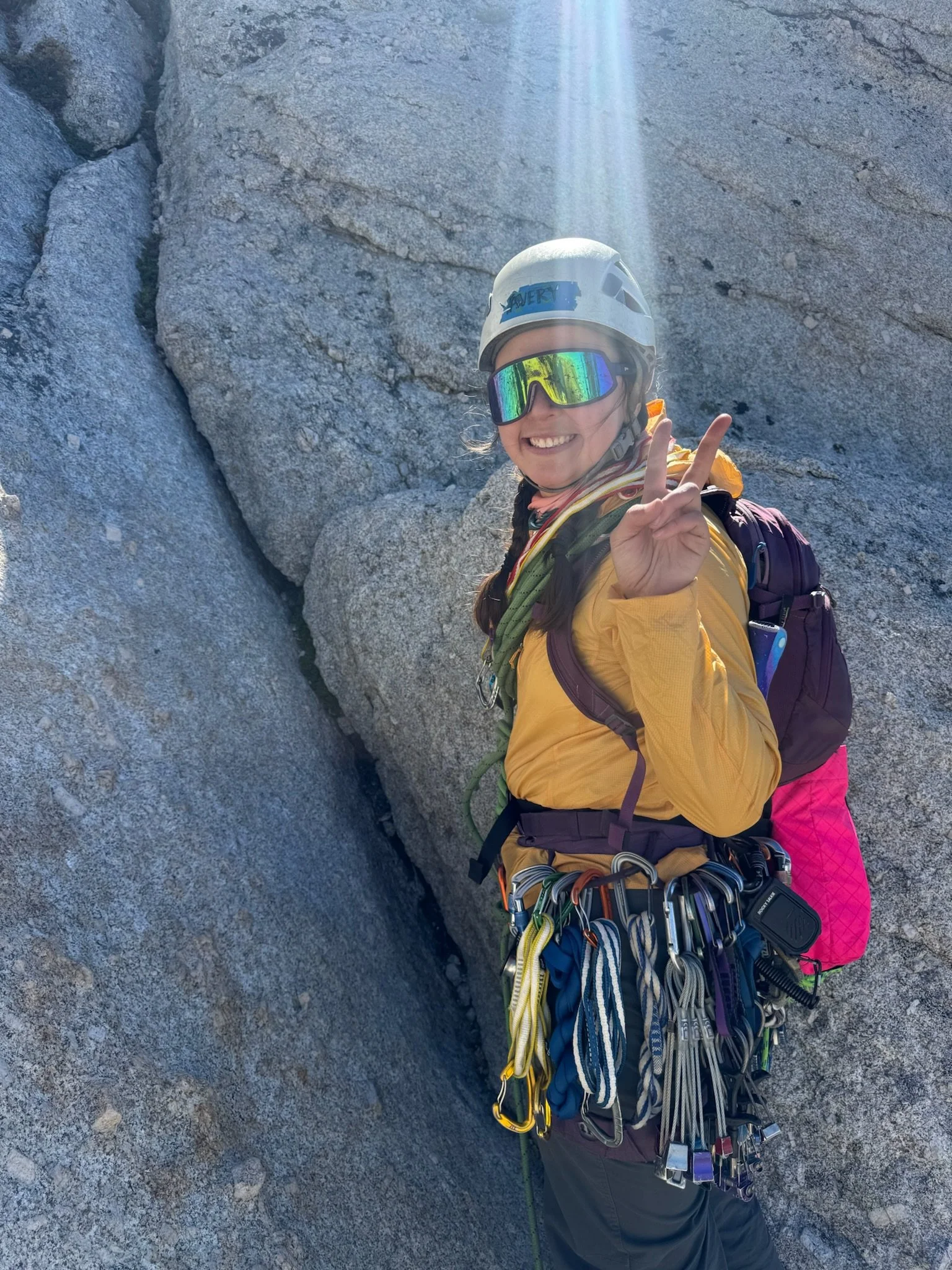
Climbing pro:
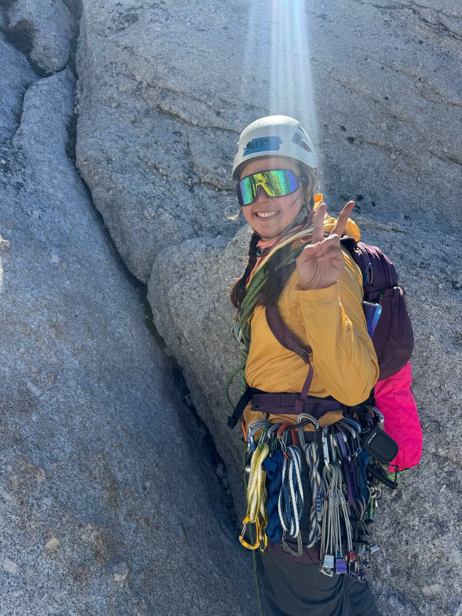
Single rack: 0.3 - 3
Spare 0.75, 1, 3
Set of nuts
8 alpine draws
4 double alpine draws
2 Micro Traxions
70m single rope (only 60m is needed if you rap from the middle, 70m is all I had)
This was the first time Justin and I simul climbed. If I were to climb this and untie for the ridge, I would forego the spare cams and the nuts. The actual 5.4 climbing needed few placements with opportunity to sling chicken heads as additional backup.
If I were to climb this again and stay roped for the ridge, I would consider leaving the nuts and bringing an additional 2 and 0.5. The reason is, I found it challenging to find good nut placements while traversing given the potential direction of force could be forward, backward, or down. I’d bring extra cams, not because of fear, but because we kept a short rope between us for the ridge line and would always have 2 pieces between us. Having extra cams would allow us to make more distance before we had to fully reconnect and trade off gear.
We only brought two Micro Traxions and used them during the vertical 5.4 simul climbing. During the traverse, I placed Micro Traxions only when there was something potentially spicy.
Our day
Time stats:
5:10 - 5:40 AM: Drove from campground to parking lot
5:40 - 6:15 AM: Breakfast, bathroom, gear up
6:16 - 7:57 AM: Approach to Budd Lake
50 minute morning break at Budd Lake
8:45 - 10:30 AM: Approach to headwall
10:57 - 11:45 AM: Climb the headwall
11:45 AM - 3:30 PM: Traverse to south peak
3:30 - 5:50 PM: Downclimb and descent (traffic jam!)
6:00 - 9:00 PM: Hike out
5:10 - 6:15 AM: Drive, breakfast, and gear up
We camped right outside the East Entrance of Tuolumne and drove through the park around 5:10AM. We parked at the Cathedral Lakes parking lot at 5:40AM. By 6:16AM when we began hiking, there were already no spots left!
6:16 - 10:30 AM: Approach to headwall
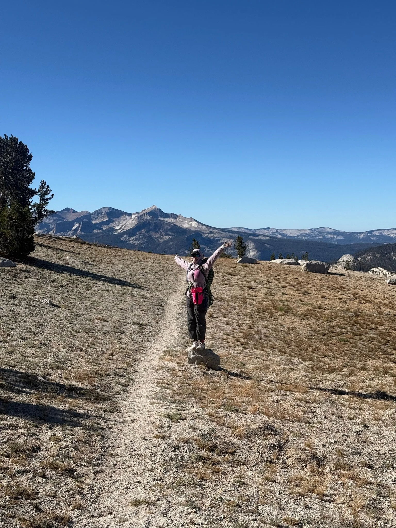
This hike is one of my favorites even if you aren’t climbing!
The hike environment varies between forest, rock slab, and meadow trail with stunning views of Unicorn Peak, Cathedral Peak, Budd Lake, Echo Peak, and finally Matthes.
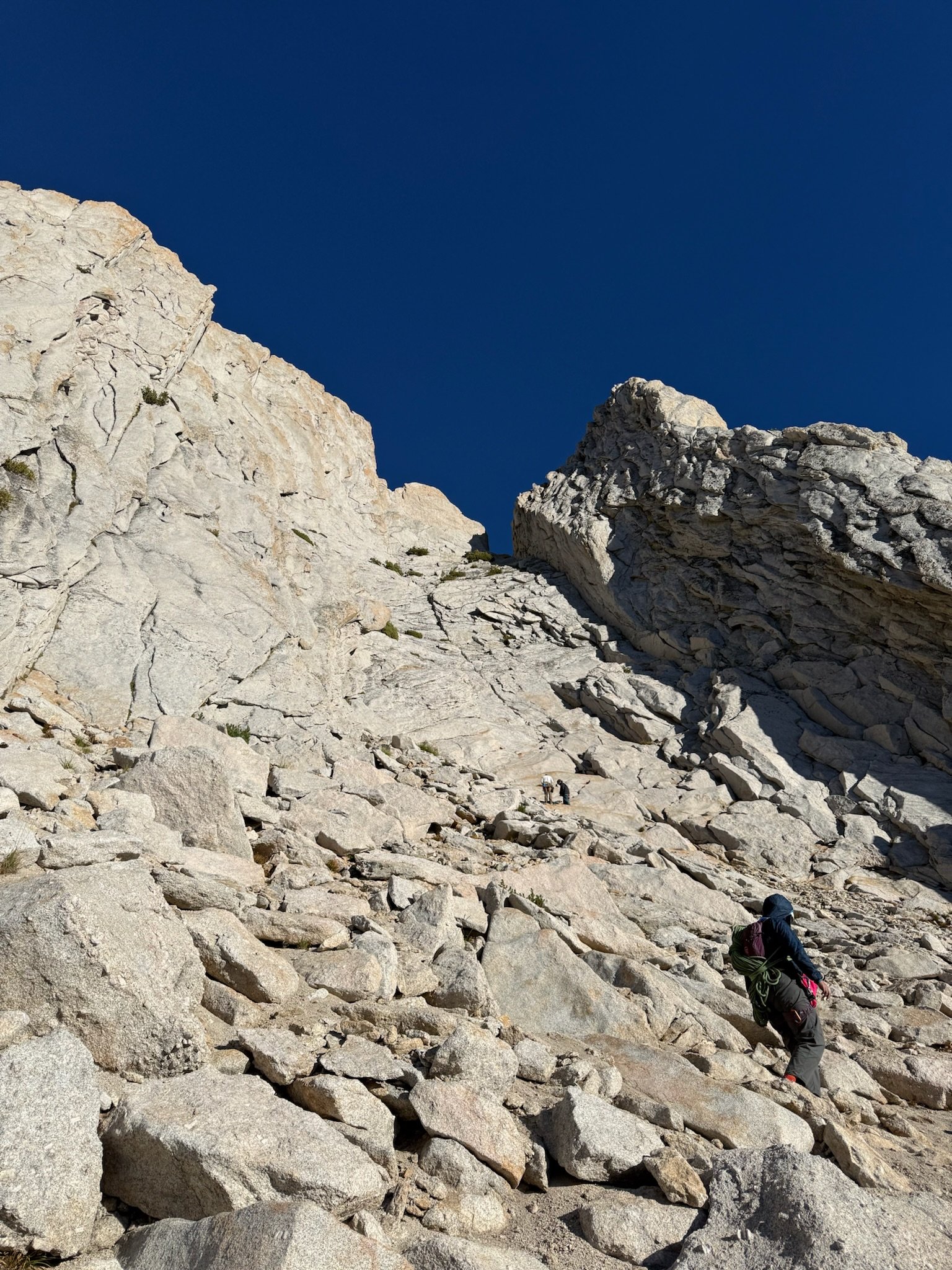
The approach to the south base starts on the JMT and follows signs to Cathedral Lakes for ~1 mile before splitting off to a climbers trail for Cathedral Peak and Budd Lake. The forested trail follows Budd Creek for ~1 more mile before opening up to a slabby boulder field. There are a few markers, but the slab trail can still be hard to follow at times. Aim up and slightly to the right; you’ll basically just walk to the exact opposite corner of the slab.
Follow the trail which turns forested for ~1 more mile where there will be a fork between heading uphill to the right and crossing Budd Creek to the left. Take the left fork and continue following Budd Creek (now on your right). You’ll get to walk through a lovely alpine meadow and depending on the time, it may be colorful with wildflowers! This meadow brings you to Budd Lake.
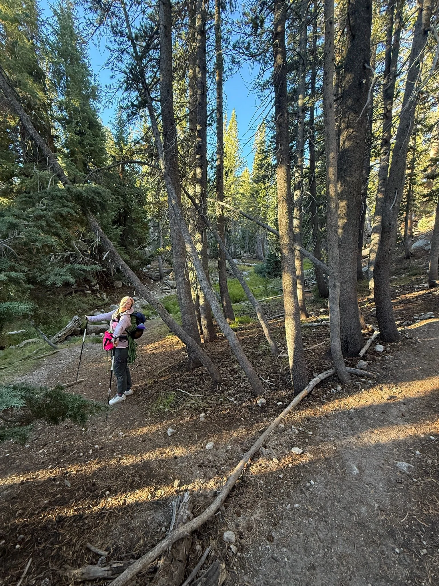
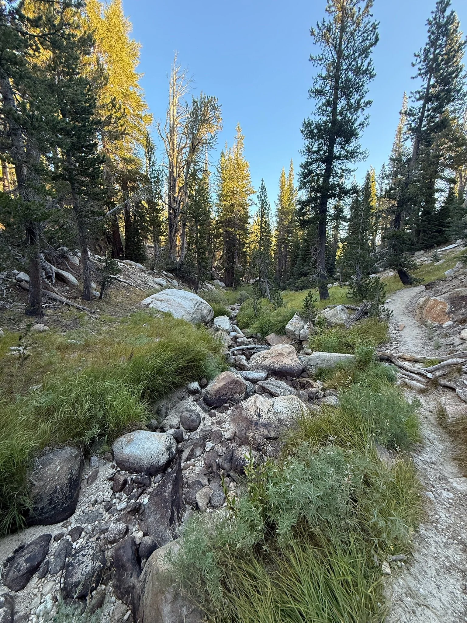
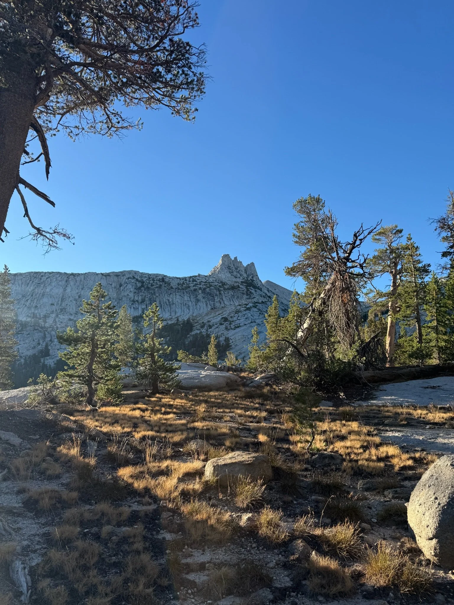
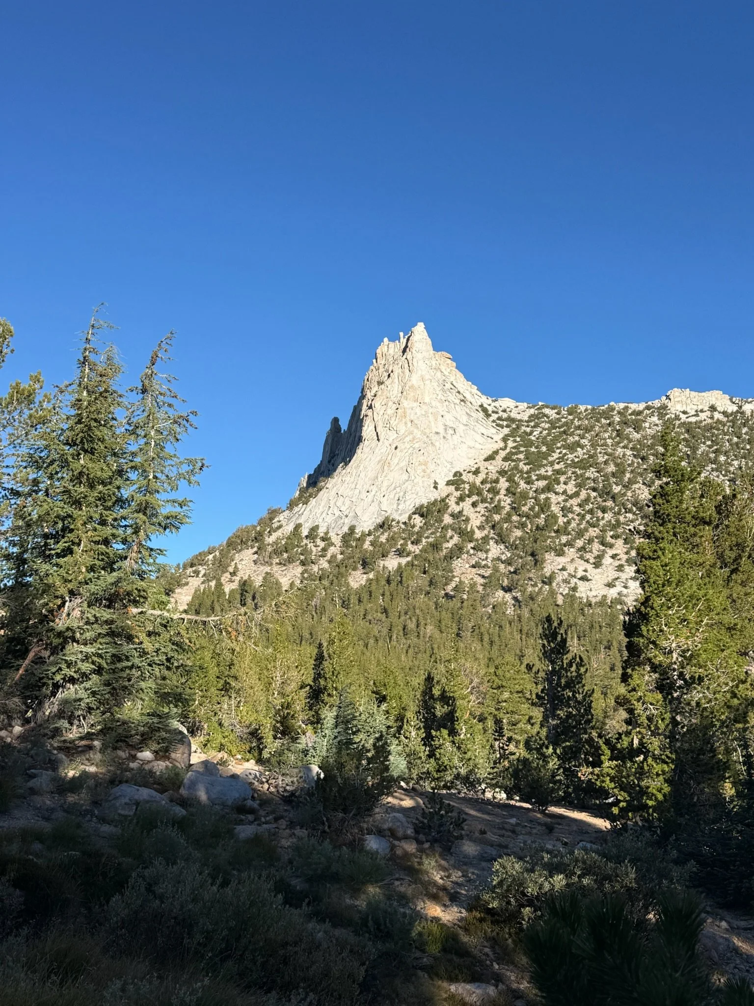
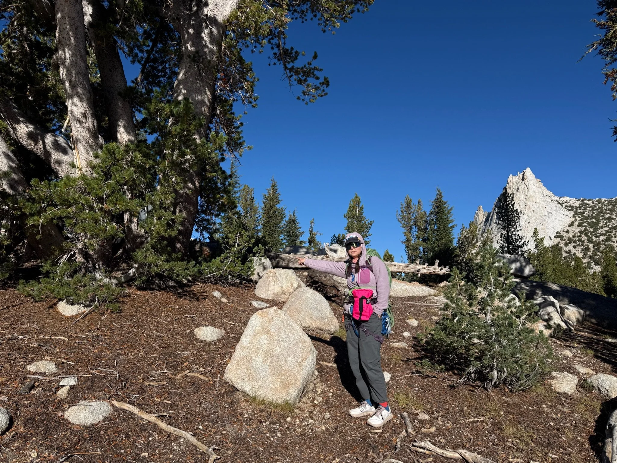
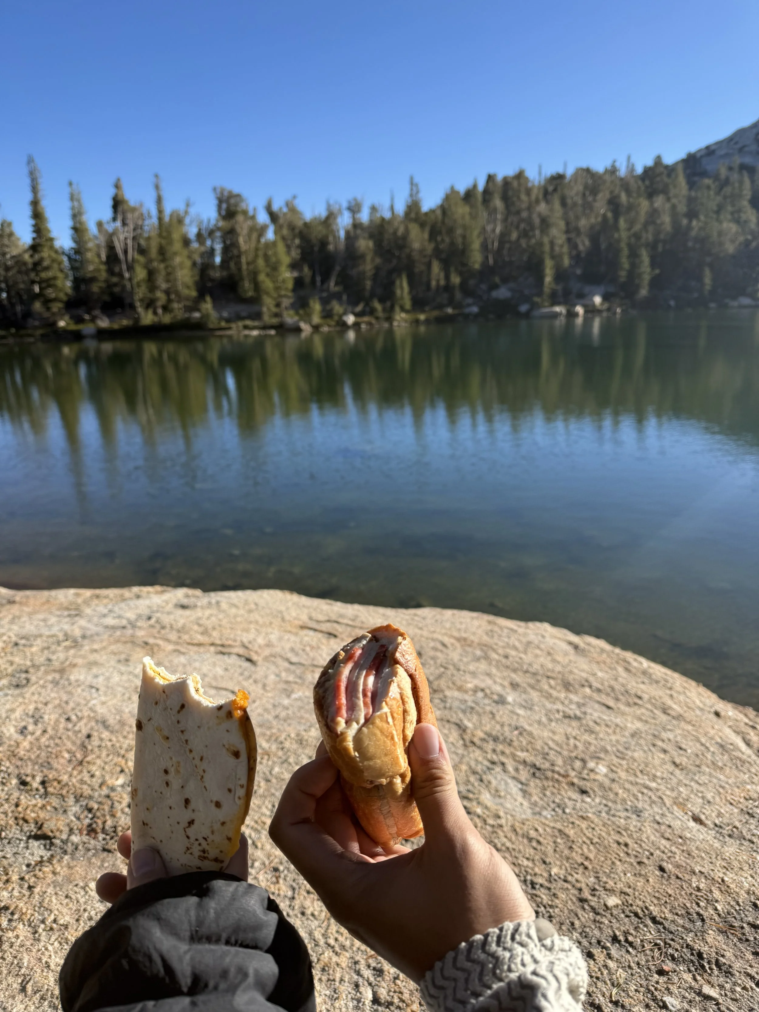
We decided to do a late breakfast at Budd Lake and reorganize some gear. We ended up spending more time than we probably should have looking back, but the lake is so serene, it is hard to say goodbye to it (50 minutes). At Budd Lake, we also stashed a bag that included hiking poles, an extra layer, and two extra liters of water (we meant to only bring one extra, but miscounted). Do not stash any food in your bag, the marmots will definitely get to it. I found stashing a bag to be helpful but most people don’t. If you do plan to stash a bag, stashing at Budd Lake is best if you are doing the full traverse. If you are only doing south peak, you can stash the bag much closer to the base of Matthes.
(I like this section of the approach so much that I brought a few friends to Budd Lake for lunch the very next day)
After our break, we continued up. The hike was ~2 more miles walking around Echo Peak. When Matthes does come into view, we found it easiest to staying left near Echo Peak and turning a hard right at the base of Matthes rather than hiking down to Echo Lake until you’re in line with the headwall then taking a hard left and hiking straight up to the south headwall.
We got to the base of the climb at 10:30. There were two parties ahead of us (one just starting and one party of three) when we got there. By the time we started climbing (graciously ahead of the party of three), there were two more parties.
10:57 - 11:45 AM: Climb the headwall
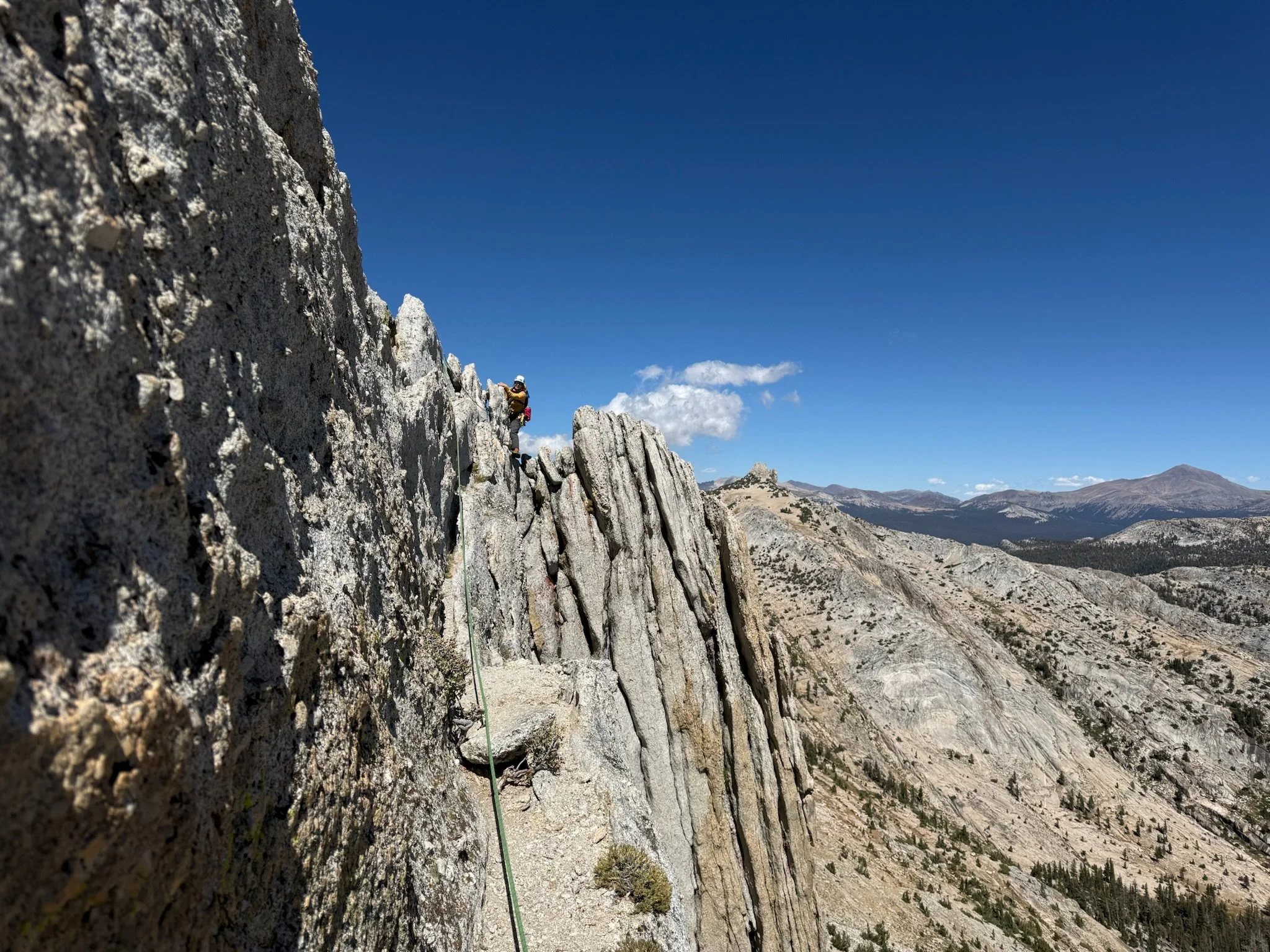
We simul climbed the headwall. It was a very chill 5.4 climb. The climbing is very straightforward and you can’t really go wrong. If you find yourself doing any spooky move, you’ve gone off route.
11:45 AM - 3:30 PM: Traverse to south peak
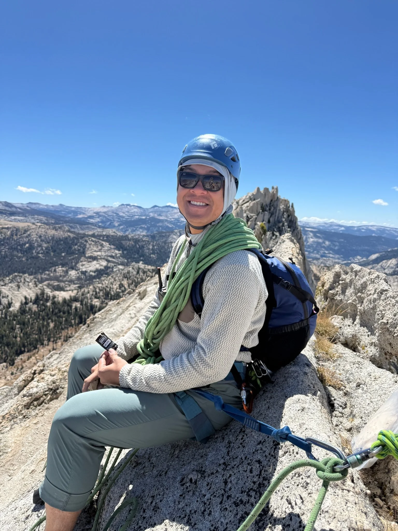
The traverse to the South peak is very easy (mostly third class). We decided to stay roped for this part regardless but we did shorten the rope between us for easier communication. Because we stayed roped, we moved slower than soloers as we made sure to always have at least two pieces. This also meant that we had to reconvene every now and again to transfer gear.
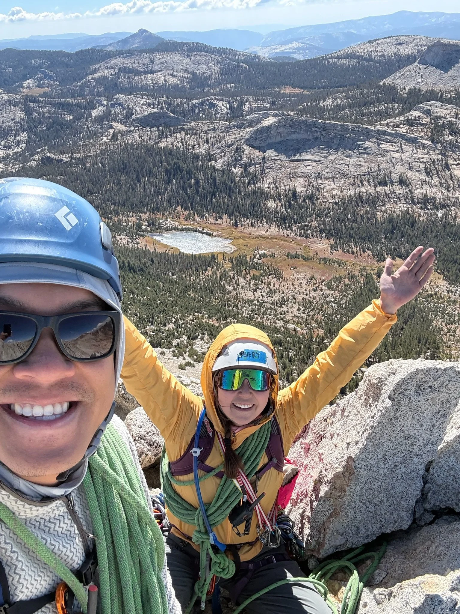
We ate lunch together on a big flat spot halfway through the ridge then scurried up to the south peak. The peak was super windy, I thought I was going to be blown off it! There are rap rings at the top, but advice suggested that it would be better to downclimb because of the propensity for ropes to get stuck during this rap, so that’s what we did.
3:30 - 5:50 PM: Downclimb and descent
Following the recommendations, we downclimbed from the south peak. We hit a bit of a traffic jam with three other parties traversing below the peak at the same time. We downclimbed to a tree that was level with a wide ledge (100 - 200ft). Traversing right to the notch too early will lead to steeper climbing.
The downclimb is on the east side of the rock. When we started, the sun had passed to the other side of the ridge, which meant the east side was cold and windy! With the traffic jam and the temperature, the wind, and the shade, I got grumpy and uncomfortable. If you pitch this (like we did since we don’t downclimb often), organize your belays so that the top belay is in the sun by the summit and the lower belay is in the sun through the notch.
The rest of the downclimb to the rap station was hardly climbing, and was more akin to hopping down steps.
The raps were sometimes hard to see from above, but as you head down, they’ll become obvious. With our 70m rope, we did two raps (doable with 60m).
6:00 - 9:00 PM: Hike out
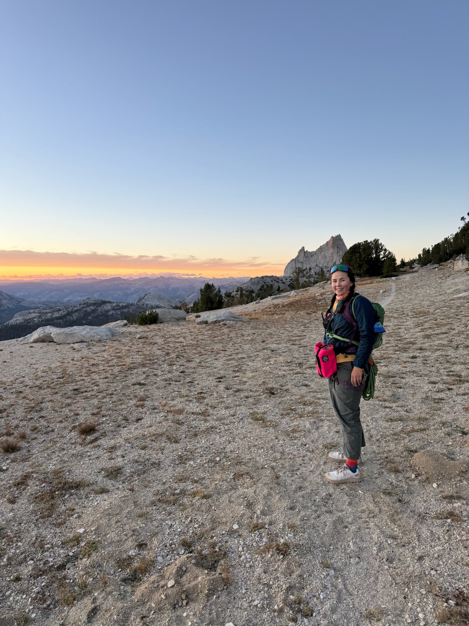
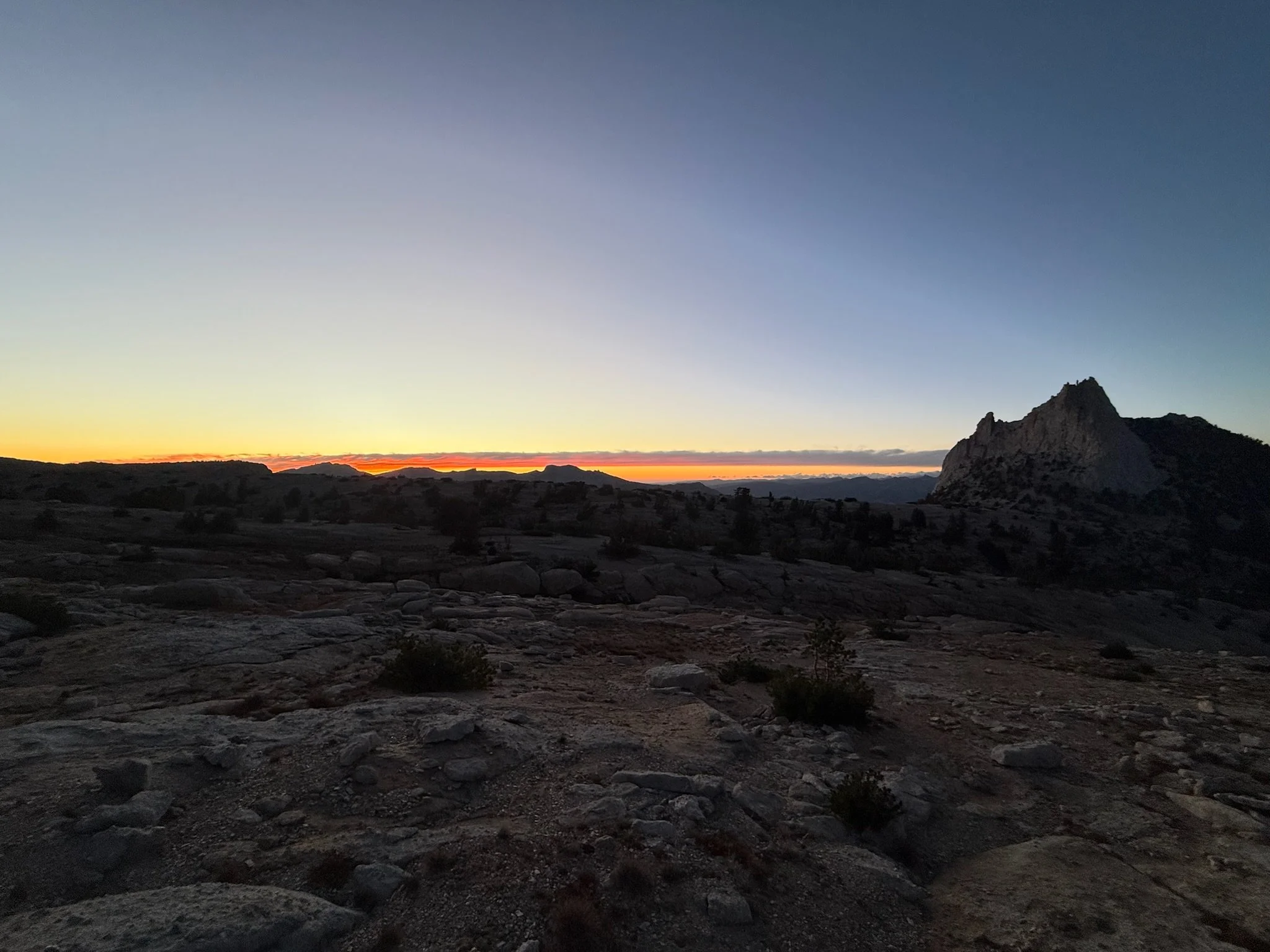
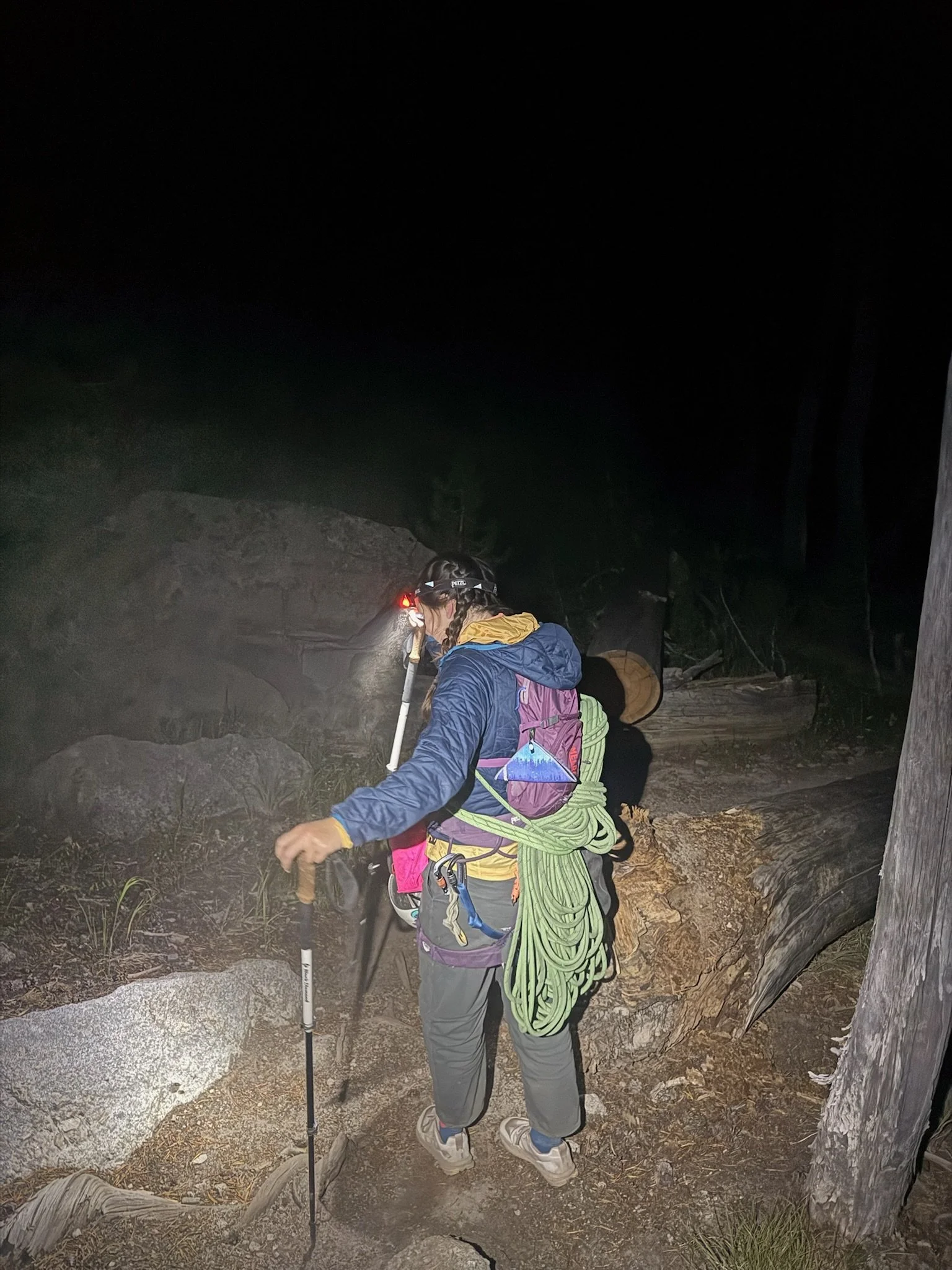
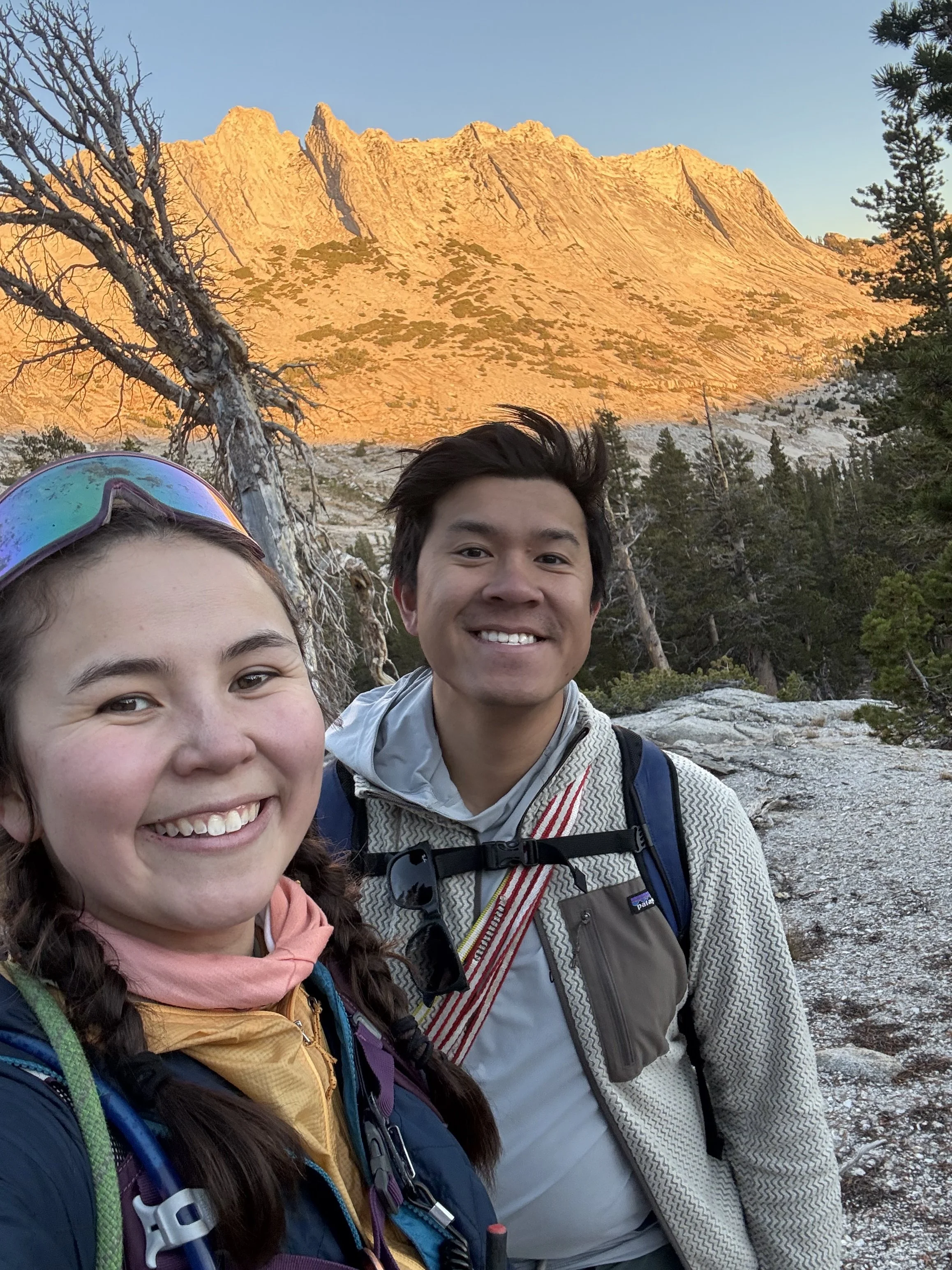
We hiked out the same way we came. As we hugged Echo Peak out, we got some beautiful views of Matthes’ alpenglow. The sun set around 8:00, right as we were getting back to Budd Lake. I was happy for our stashed bag since we didn’t need to think about conserving water during the climb for the way out. We hiked the remaining 3 miles by head torch, getting back to our car at 9:00PM.
We planned for a long day including hiking with head torches and because of that, we allowed ourselves to take longer breaks than others may have in order to enjoy views, weather, and our company. This trip was so amazing and well worth it. I’d love to go back and do the full traverse, and in the future, perhaps even the Triple Crown! Overall, this was definitely a five-star day!
Hindsight 20/20
If doing this in the fall, there may not be running water on the hike out, so plan to carry all water.
When checking the weather, look at the wind too. We focused on the temps and sun coverage and were surprised by how windy it got!
The shade during the downclimb was COLD. Try to minimize the time in the shade and stretch each downclimb pitch so you can belay in the sun!
The downclimb from the south peak was longer than expected. Downclimb to a tree and a large ledge, then traverse over to the notch. The rap rings are then farther down, after some very easy stair-like downclimbing.
Overall, I felt that we did a good job here and were well prepared. This was our first time simul climbing so we learned a lot about how to make our own systems faster but not much about Matthes specifically.
We’d of course like to go faster, but our speed was much more a limitation of fitness and mental fortitude than anything else :-)